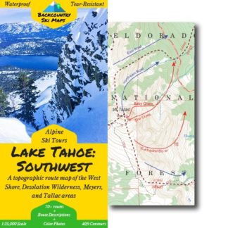
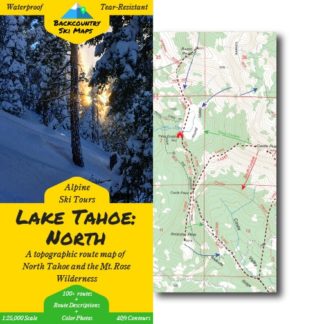
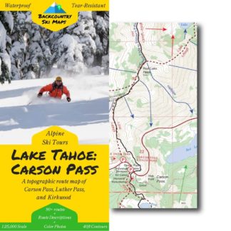
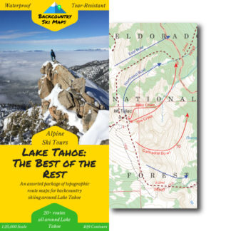
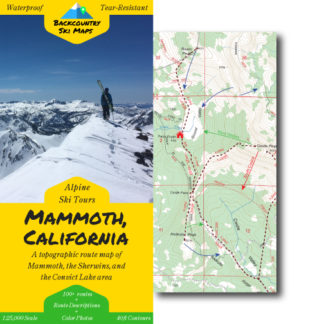
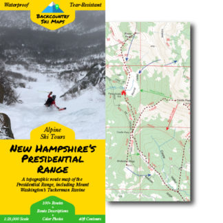
Don’t wait in lift lines. Discover incredible ski routes in minutes with Backcountry Ski Maps.
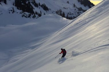
Get Home Safely
All of our maps are printed on waterproof, tear-resistant paper that stands up to the abuses of backcountry skiing. That means when a storm comes in a day earlier than expected while you’re out on a multi-day ski tour in the Desolation Wilderness, you’ll have no problem finding your way home – even if your cell phone has long-since run out of juice.
Find The Best Ski Descents
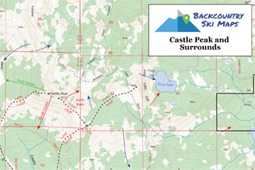
Whether you’re looking for steep couloirs, mellow pow, open bowls, or anything in between, Backcountry Ski Maps has you covered! Backcountry skiers new to an area can expect to find all the classics, while even the most seasoned locals will discover new, rarely-skied lines to explore. Our highly detailed maps include all the information you need to find the best ski lines around.

Make Navigation a Breeze
Each of our Backcountry Ski Maps is based on the latest US Forest Service maps so your information is as up-to-date as possible. With 40ft contour lines and scales at 1:25,000, our maps are some of the most detailed and easily readable around. Plus you can use our maps on your phone to navigate in real-time with GPS accuracy on your next ski touring adventure.
Ensure that you’re always on track by downloading maps to your phone and checking your position in real-time with GPS accuracy.

