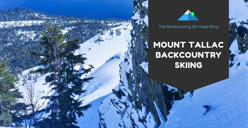
Route Overview
Mt. Tallac
Starting Elevation: 6,300ft
Summit Elevation: 9,735ft
Cumulative Elevation Gain: 3,475ft
Total Distance Covered: 6mi
Description: A true Lake Tahoe classic, a descent of Mt. Tallac is a right of passage for local backcountry skiers. With stunning views and a variety of terrain – glades, bowls, couloirs, and extreme descents – all just a short jaunt off the road, a descent of Tallac should be on every local skier’s list.
The map included on this page is an approximation with only some routes included. To purchase the full, high-accuracy map with many more ski routes on Tallac and the surrounding peaks click here. Maps are available in both paper and downloadable format.
Intro
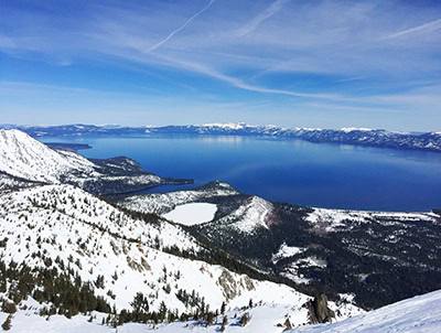
Mount Tallac is the crown jewel of Lake Tahoe backcountry skiing. No peak in the area can rival this lakeside giant for variety of terrain. Add in stunning views of the lake, reasonable access, and relatively long runs, and you can see why this peak sits atop the wishlist for nearly every backcountry skier in Tahoe.
Tallac has enough terrain on it to satisfy even the hungriest of backcountry skiers. Bowls, glades, couloirs, extreme descents – it’s got it all.
Continue reading Lake Tahoe Backcountry Skiing 101: Mount Tallac